Q. In your opinion, after modifications, what trail might be the best new “adaptive” or wheelchair-accessible trail?
A. Moving forward, the park’s mandate is that we must take accessibility into account for every future large project. No, we’ll never make the Precipice accessible, but it is always a top consideration as we move forward.
Last year, at Sieur de Monts, we revamped from the bridge to the boardwalk to make it much more accessible. The Schooner Head Path is accessible … a short section of Jordan Pond. We’re slowly working on sections of Ocean Path to make it more accessible. Ship Harbor, the first loop you come to, is accessible as a loop.
We’re also working on Great Head Trail this year – mostly at the beginning on the Sand Beach side. That will improve accessibility from the Great Head Parking area to the millstone. We can’t create accessibility all through Great Head, but we try to keep loops in mind.
Q. Tell us something surprising or strange that you’ve seen on Acadia’s trails?
One surprising thing is the number of people that ask me where they parked their car and how to get back to it? I’ve witnessed a lot of family arguments over trying to figure it out where the car is parked. “It was a big parking lot.” “No, it was a little parking lot.” “There was a stream next to it.” “No there wasn’t.” This occurs at least a couple of times per year.
I also see many folks hiking without maps and, in today’s world, apps. I see people with their cell phone trying to figure out where the heck they are. They’re confused. That happens a lot.
The great rain event last June ranks right up there. In January 2017, Jesup Path and Sieur de Monts flooded and I canoed across it for fun! The earthquake in 2006 was also pretty bizarre.
Q. Have you seen or given anyone famous a trail tour?
A. Oh, yes! Lots of people. I met John D. Rockefeller III, several times. Many Friends of Acadia Board Members and donors. I’ve met Martha Stewart, but she won’t likely remember. Of course, we had Barak Obama. Barbara Bush. And in my early years, I met some of the people from the cottage era who were still hiking. This has been an exciting part of my career. I always tell my workers to be on their best behavior because you never know who you’ll meet on the trails!
Q. What is the best way to navigate a mud puddle on a trail? Can you set the record straight?
A. The proper method is to go through the puddle. That’s why boots were invented.
Usually, the puddle is there with standing water because the ground underneath is compacted and solid. Going through is better than continuously widening the trails and killing vegetation on either side. That’s a vicious cycle. We’ve seen trails 30’ wide in places. Go through it! But now a lot of people heed that advice.
Q. Can a senior citizen in good shape hike the Beehive Trail?
A. Of course! They must know their own limits and not be afraid of heights. I know one fella who is over 80 years old and hiked the Precipice last year. I am 72 and I don’t plan to stop hiking it anytime soon. But if you are afraid of heights or ledges, it’s probably not for you. Know your own limits.
Q. What’s the best way to navigate the carriage roads? How come the trail markers are not as clear as on Acadia’s trails?
A. The system we use to navigate them with the wooden signs/arrows is a historical system, which many people love, including me. We added trail section numbers in the 1980’s and most of those are on carriage road maps and apps, so pay attention to them. It can certainly be an issue when you’re at an intersection like Around Mountain and it goes both directions. On the other hand, it says Around Mountain, so what does that tell you—it’s a loop! I feel your consternation. A map is a must!
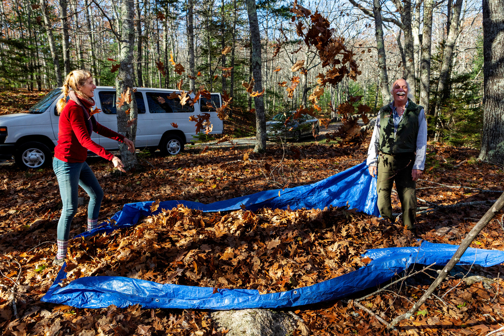
Terese Miller (left) playfully throws leaves at Gary Stellpflug, trails foreman at Acadia National Park, while clearing leaves from the carriage road as part of the Acadia Proud volunteer group during Friends of Acadia’s annual Take Pride in Acadia Day in 2021. (Photo by Ashley L. Conti/Friends of Acadia)
 Join
Join Donate
 Acadia National Park